LAURIE WEIR
Perth’s town council received a report that the Active Transportation Plan (ATP) that aims to improve walking and cycling infrastructure throughout the town comes with a multi-million-dollar price tag.
The initiative, driven by growing community interest in sustainable and healthy living, would like to see new bike lanes, upgraded sidewalks, and enhanced pedestrian crossings at key intersections.
It is hoped that the project, estimated to cost $32.8 million over several years, would be funded in part by government grants.
The Pedestrian Facility Gap program represented the largest piece of the project at roughly $15M or 45 per cent of the total capital cost. Cycling-supportive facilities, such as bike lanes, cycle tracks, pathways and trails accounted for the remaining $17M or 55 per cent of the total capital cost. The capital cost breakdown would include just over $15M in the next five years, with the remainder being spent after that.
The ATP is more than a policy document; it’s a vision for Perth’s future, noted Austin Shih, senior transportation engineer. He and Mike Carrier, an urban planner with Parsons Inc., presented the ATP to council on Aug. 4.
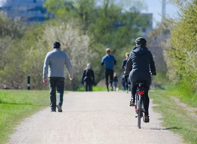
At its core, the plan envisions a town where active transportation — defined as any form of human-powered movement, such as walking and cycling — plays a central role in daily life. The plan aligns with broader goals of sustainable use of town assets, boosting the tourism economy, and improving the health and well-being of residents.
This initiative follows the Municipal Engineers Association Municipal Class Environmental Assessment (MCEA) process, ensuring it adheres to environmental and planning standards. The ATP, guided by provincial and national standards, is designed to be comprehensive, flexible, and sustainable, adapting to the town’s evolving needs while prioritizing safety, equity, and inclusivity.
Perth’s current transportation network is heavily dominated by motorized vehicles, with 83 per cent of residents commuting by car, truck, or van. Active transportation accounts for only 15 per cent, with walking making up 14 per cent and cycling, one per cent.
The data highlights a significant opportunity for growth in active transportation, particularly given that nearly two-thirds of all trips made by Perth residents are less than five kilometres.
Several barriers hinder the expansion of active transportation including the Canadian Pacific Kansas City (CPKC) rail line, Highway 7, the Tay River, numerous bridges, and the designated truck routes along Wilson and Gore streets. Additionally, the town faces challenges in implementing sidewalk infrastructure, particularly in areas with limited right-of-way and high costs.
The ATP outlines a series of recommendations aimed at addressing these challenges and promoting active transportation. The plan advocates for filling sidewalk gaps, particularly in the town’s periphery, and enhancing the cycling network to make it safer, more connected, and more convenient. It also emphasizes the need for policy updates, such as integrating active transportation considerations into the ongoing Official Plan update and applying an equity lens to ensure the safety and comfort of all users, especially the most vulnerable.
Education and incentive programs are also a priority, with the ATP proposing initiatives to promote active transportation and reduce reliance on single-occupant vehicles. These efforts align with broader climate change goals by aiming to decrease greenhouse gas emissions through increased active transportation adoption.
The ATP outlines three network scenarios—Immediate, Target, and Ideal—each representing different stages of implementation. The Immediate Network, to be completed within the next five years, includes lower-cost, easy-to-implement enhancements, like bike lanes on Drummond Street, along with pedestrian crosswalks at various points across town. Paved shoulders from St. John Catholic High School to Last Duel Park would be one of the largest investments at just over $2.5M. Sidewalk additions for arterial and collector roads would cost just under $11M.
The Target Network envisions a more comprehensive active transportation system with higher-quality infrastructure, while the Ideal Network represents the ultimate vision, requiring collaboration with other agencies and municipalities.
Coun. Jim Boldt was concerned with the number of scooters in town as the population ages. He said that the town was built as a military camp more than 200 years ago with narrow streets. “They weren’t thinking of automobiles back then,” he said. “My concern is the downtown core … and the overall cost … I don’t see this happening, personally, unless the federal government wants to throw some money our way.”
Coun. Gary Waterfield said the concept is exciting and wondered about the next steps, “however, we are a town that has roughly a $17 to $18-million budget. Looking at the immediate and targeted recommendations, we’re looking at $33M. There’s a disconnect there.”
Waterfield said what’s “frightening me to death as a person who enjoys active transportation, is that this is going to land on a shelf collecting dust.”
In creating a town of wellness, Waterfield said this investment needs to be practical, like recommending small chunks of the plan to implement over a period of time.
“Everything starts with a plan,” Shih noted, including provincial and federal funding. To have the policy in place would work well to obtain the grants.
Cathy McNally, the town’s director of community services, said this document can be paired up with the town’s transportation plan “to make sure it’s something we can use in the future … it’s a starting point to move forward.”
Coun. Isabel Anne McRae noted that now that they have a plan they can apply for some of the federal and provincial active transportation grant opportunities.
“We pick them up one by one, priority after priority,” she said, as she asked about the future connectivity of Darou Farm, south of town.
McNally said they did discuss options for that including connecting from Industrial Drive to the back end of the farm, but those details have to be looked at once the fate of the farm has been solidified.


